TOOL & EQUIPMENTAbout
About Us
We are a more than 100 years old financially and technically sound organization operating in Pakistan and USA, having its setups for imports, manufacturing, repair maintenance and training with a dealer’s network spread throughout the country. We are housed in a self-owned building spread over an area of 7200 sq ft. and manufacturing facility covers an area over 25000 sq ft backed by professional team of 50 staff members.
We have been versatile in our unique trading nature serving our nation from helping our engineers with high tech surveying equipment’s to helping farmers optimizing yield thru laser land leveling system
We have been versatile in our unique trading nature serving our nation from helping our engineers with high tech surveying equipment’s to helping farmers optimizing yield thru laser land leveling system
Bestseller Product
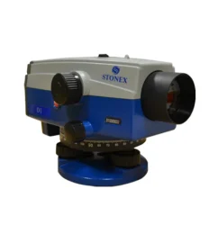
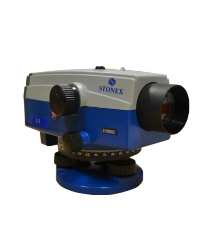
Stonex Digital Level D1
STONEX D1 digital autolevel is the recommended leveling instrument for contractors, builders, professionals land surveyors and Engineers who demand accurate leveling every time. The accuracy of ± 1.5 mm on a base of 1 Km – double run – makes STONEX D1 the perfect equipment for the 3rd order leveling and for construction industry. Faster automatic measurements – difference in height and distance – are digitally determined: the fully electronic measurement results appear in the clearly visible display window after less than 2 seconds.

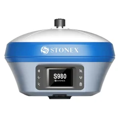
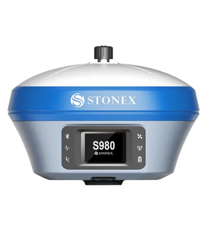
S980 GNSS Receiver
The perfect base GNSS receiver
Stonex S980 integrated GNSS receiver tracks all the present constellations and satellite signals GPS, GLONASS, BEIDOU, GALILEO, QZSS and IRNSS.
Through the 4G GSM modem a fast internet connection is guaranteed and the Bluetooth and Wi-Fi modules allow always reliable data flow to the controller. These features combined with the integrated 2-5 watt radio make S980 the perfect base station receiver.
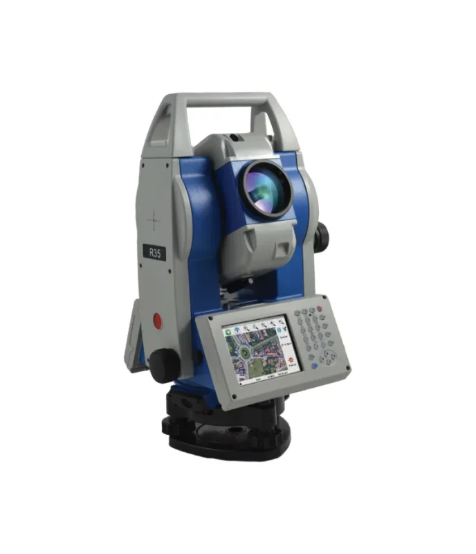
R35/R35LR Total Station
Stonex R35/R35LR series is the most customizable Total Station of the market. Depending on the User needs, R35/R35LR comes with endless friction drives for continuous horizontal and vertical rotations, 2” accuracy and 600/1000 m reflectorless range.
This advanced Total Station is fully customizable: each user can choose the software that best suits own needs. Several onboard software to be choosen, such as Microsurvey FieldGenius, Carlson SurvCE, ANTAS Mobile and many Custom field applications.
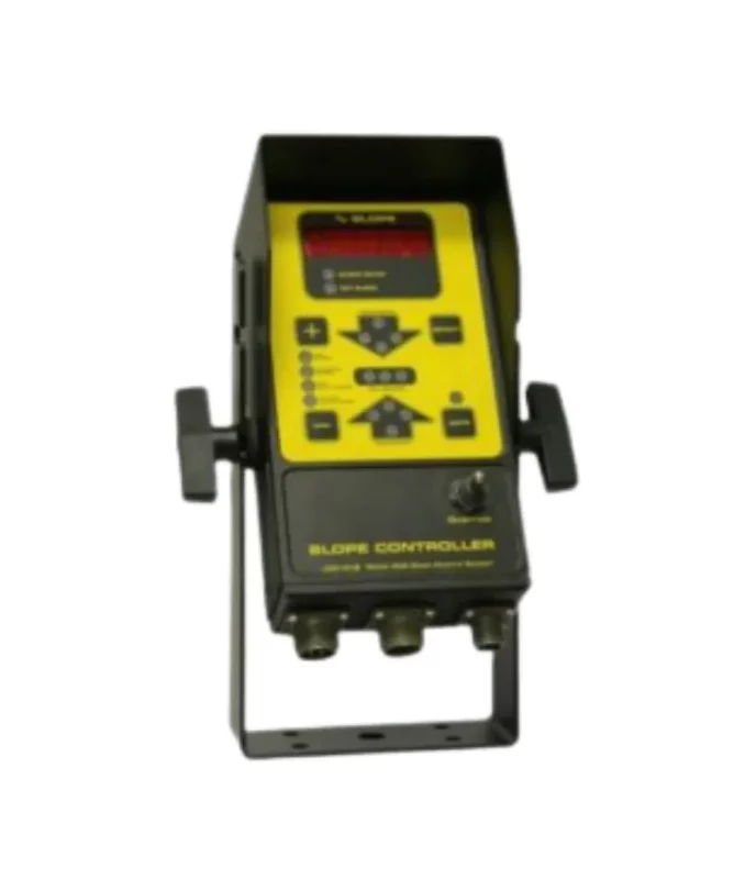
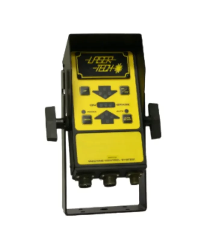
Laser-Tech Model 306 Laser Machine Control Panel
Laser-Tech Model 306 Laser Machine Control Panel
The Laser-Tech Model 306 Slope Machine Control System is an electronic device which keeps the blade either level or at the slope you have it set for coming or going. Any slope to plus or minus 100% can be set from the control panel. The slope can then be easily reversed at the touch of a button when you change direction. This system is perfect for scrapers, dozers and pavers.
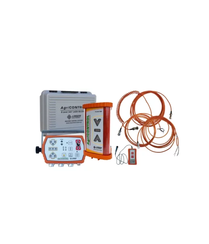
AgriCONTROL
The AgriCONTROL set is equipped with a lot of features to meet all requirements regarding accuracy, control of the hydraulics and quality of the job. Its control unit is fully programmable and will easily meet all demands of the user. With its extra features like adjustable LED brightness and remote control (optional) makes working with this unit even more comfortable.
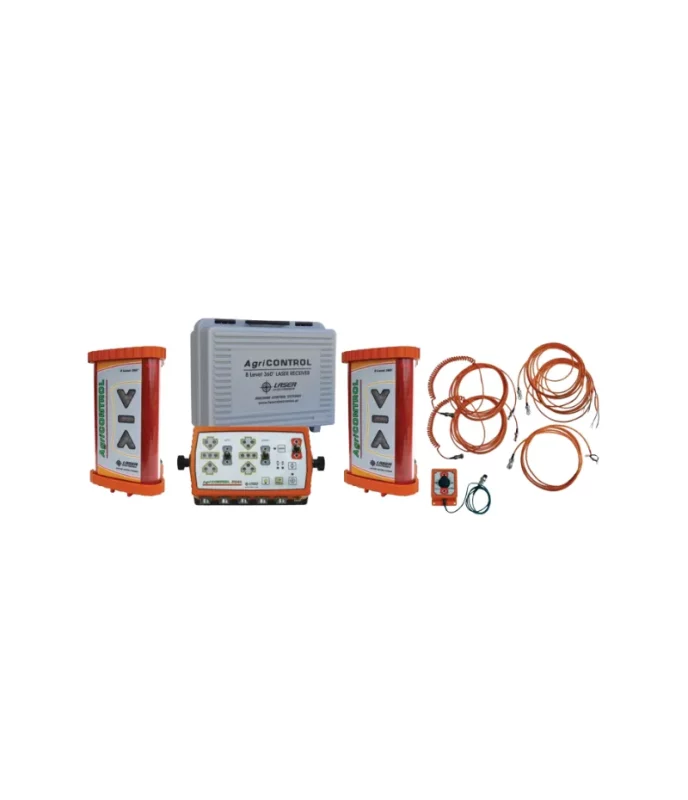
AgriCONTROL EM
The AgriCONTROL EM is a set which besides the control unit and receiver includes an electric mast as well. With this set it is possible to control electrically the height of the laser receiver (the height is displayed on the control unit) and thus make laser set-ups, elevation changes and measure height differences and make fine adjustments.
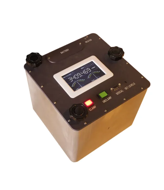
Dynamic gravity Systems AT1-L
Windows Software
Stonex GeoGis is a powerful yet simple software solution for the collection of high quality feature and position data for GIS update and maintenance. GeoGis software provides simple and efficient workflows to capture high quality data quickly and easily. GeoGis is an option that can be embedded into handheld GIS systems.
GeoGis is developed for Windows Mobile.


FINDAR® Locate buried evidence
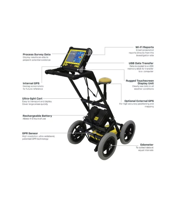
FINDAR® uses ground penetrating radar (GPR) technology to enable law enforcement to quickly and effectively search for evidence buried under the ground.
The advantage of GPR compared to other commonly-used subsurface search technologies, such as metal detectors, is its ability to detect both metallic and non-metallic objects. FINDAR can locate:- Clandestine graves
- Drugs or money buried in metal or plastic containers
- Buried weapons and ammunition stashes
Benefits of FINDAR®
- Locate evidence in real time
- Convenient and intuitive to use with minimal training
- Locate buried evidence on a variety of terrains and make decisions on-site.
- The intuitive user interface guides investigators through a systematic grid search
- Generate 3D images on-site in seconds pinpointing the position and depth of potential evidence
- Compact and portable system that fits into a single hand-carried shipping case.
- Transfer data and captured images to a PC and integrate images into reports.
- Archive data and screenshots in a single file for future reference
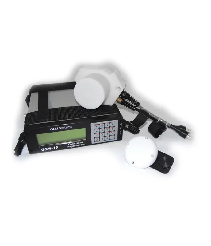
GEM GSM-19 Cost Effective and High Precision Overhauser Magnetometer
GEM’s Overhauser Magnetometer system is a revolutionary geophysical instrument developed by GEM to offer a rugged, low power, and sensitive alternative to Proton Precession and some other alkali vapour magnetometers.
GEM’s GSM-19 (Overhauser) magnetometer is a primary standard in mineral exploration and magnetic observatories. As a standard for magnetic observatories, this system has proven itself – for its high sensitivity, absolute accuracy and long life. Overhauser magnetometers are also used in archaeology, pipeline mapping, UXO detection, and other engineering and environmental applications.
Laser-Tech Model 312 Laser Machine Control Panel
Laser-Tech Model 312 Laser Machine Control Panel
The Laser-Tech Model 312 Control Panel has both automatic and manual blade control functions for precision grading. This cost-efficient system is easy to install, setup and use. The Ultra Bright LEDs make the display visible during the daytime. Pair the Laser-Tech Model 312 with the Laser-Tech Model 367SB to make a perfect system for your application.
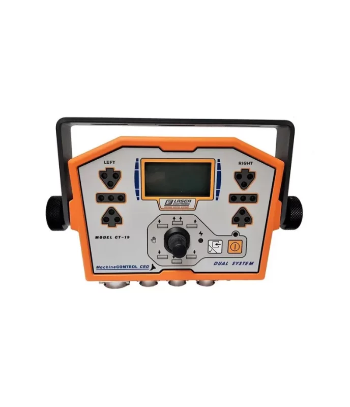
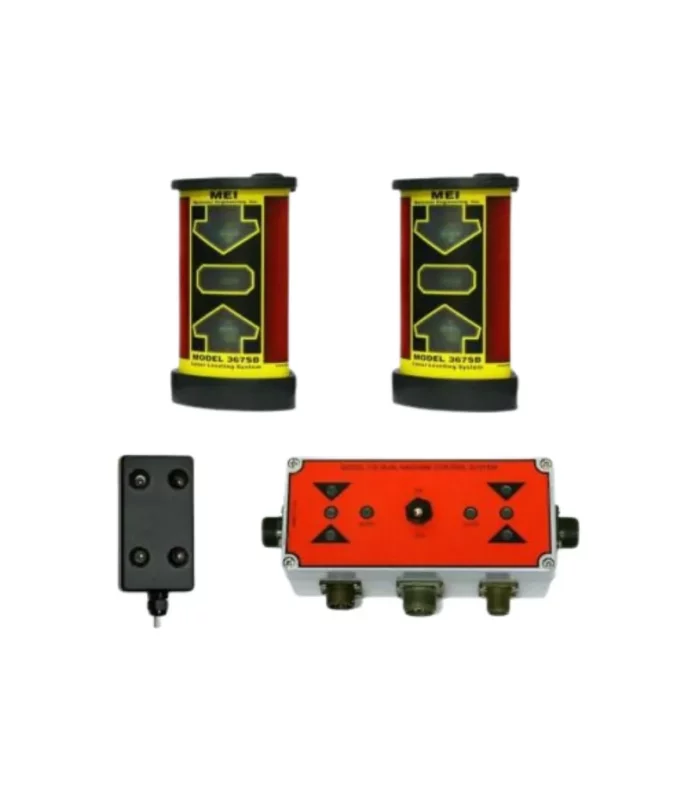
Laser-Tech Model 316 Dual Grade Laser Machine Control Panel
Laser-Tech Model 316 Dual Grade Laser Machine Control Panel
The Laser-Tech Model 316 Dual Machine Control System is an economical way to automate both sides of the blade. This is an automatic dual receiver system for small machines that uses two hydraulic cylinders for blade control for elevation and cross slope.
The dual remote control panel offers both automatic and manual blade override control at the push of a button. You can independently adjust the up and down speed for each blade. The two independent sensor inputs drive the automated control of On/Off and proportional values for two independent hydraulic cylinders.
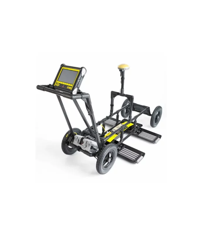
NOGGIN Complete GPR
NOGGIN® GPR systems have been recognized by leading researchers as providing the highest quality GPR data in the world. They are also built to perform in the most demanding conditions around the globe.
Adaptable, proven GPR for any application
Available in four center frequencies and four standard configurations, NOGGIN® systems can collect data in any environment for any application. NOGGIN® span the depths and resolutions required for subsurface investigations. Choose the combination of center frequency and configuration best suited to your application and terrain.GLOBAL WATER FLOW PROBE
GLOBAL WATER FLOW PROBE
FEATURES:- Digital display in ft/sec or m/sec
- Records 30 data sets for later analysis
- Rain-proof digital computer
- Highly accurate easy flow monitoring
- Debris shedding turbo-prop
- Lightweight, rugged, and reliable
- Telescoping handle with staff gauge
- Padded carrying case for easy storage
- CE Certified
- Used by water professionals worldwide since 1990
- Ideal for measuring flows in streams, rivers, canals, stormwater, wastewater, inflow and infiltration studies, and industrial process waters
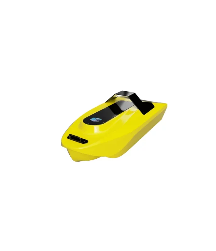
NORBIT Integrated WINGHEAD i77h
Superior Performance Ultra High-Resolution Curved Array Bathymetric System.
NORBIT introduces the first cylindrical ultra-high resolution curved array bathymetric system, designed for rapid
anywhere anytime mobilization featuring the highest standard industry leading integrated GNSS/INS positioning system
GeoGis
Windows Software
Stonex GeoGis is a powerful yet simple software solution for the collection of high quality feature and position data for GIS update and maintenance. GeoGis software provides simple and efficient workflows to capture high quality data quickly and easily. GeoGis is an option that can be embedded into handheld GIS systems.
GeoGis is developed for Windows Mobile.

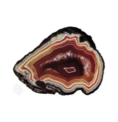
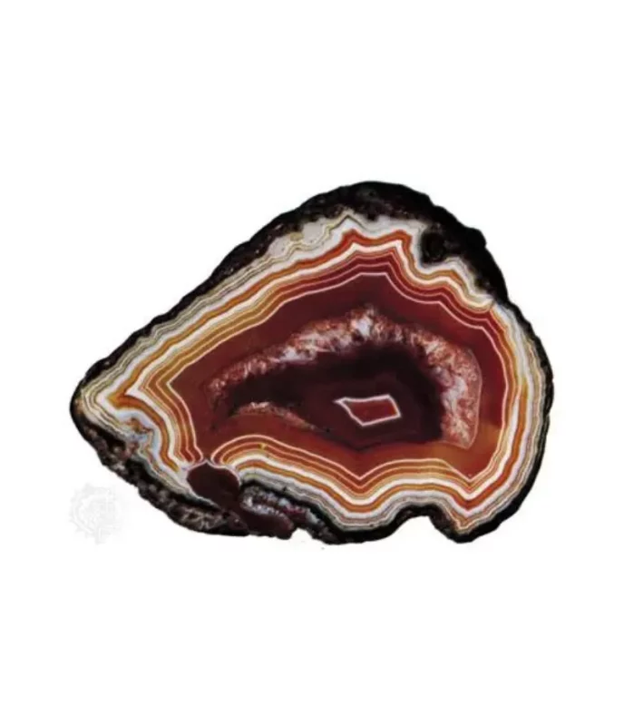
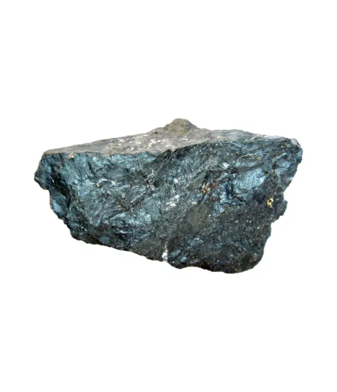
Agate Rock
Description
Agate is a rock consisting primarily of cryptocrystalline silica,
chiefly chalcedony, alternating with micro-granular quartz.
Use
Hardstone Carving, Jewelry, making of knife-edge bearings
for laboratory balances and precision pendulums, mortars &
pestles,
Occurrence: Chagai, Lasbella, Qilla Saifullah, Khuzdar
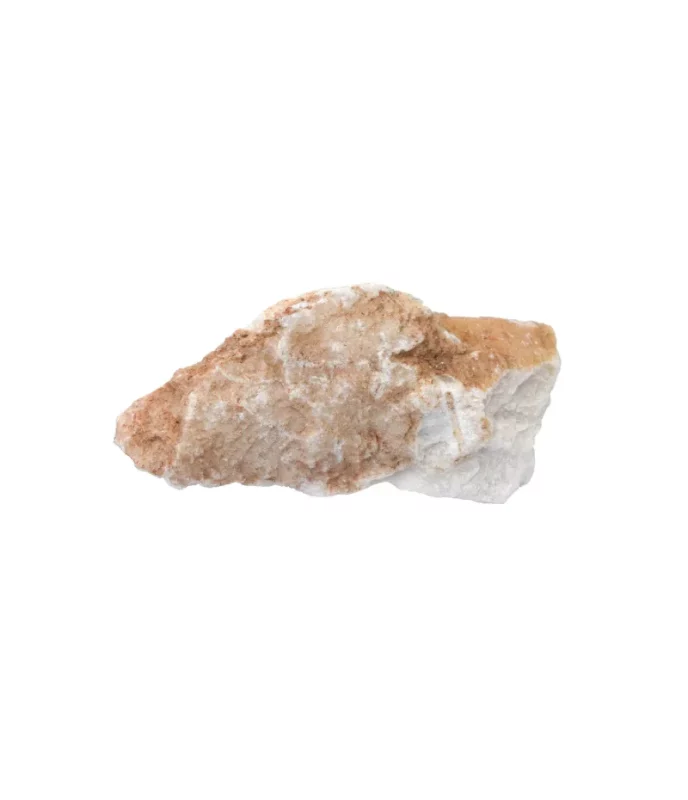
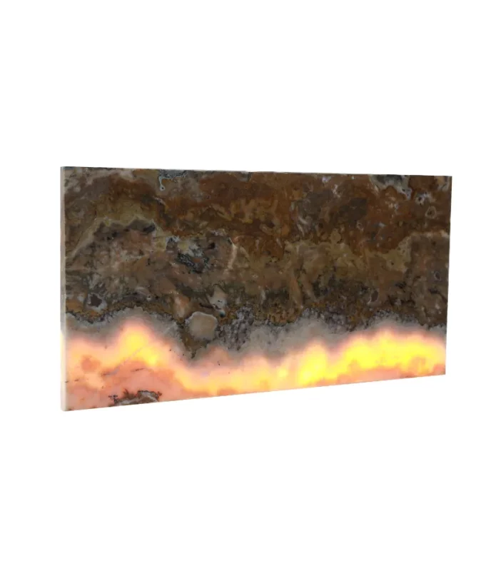
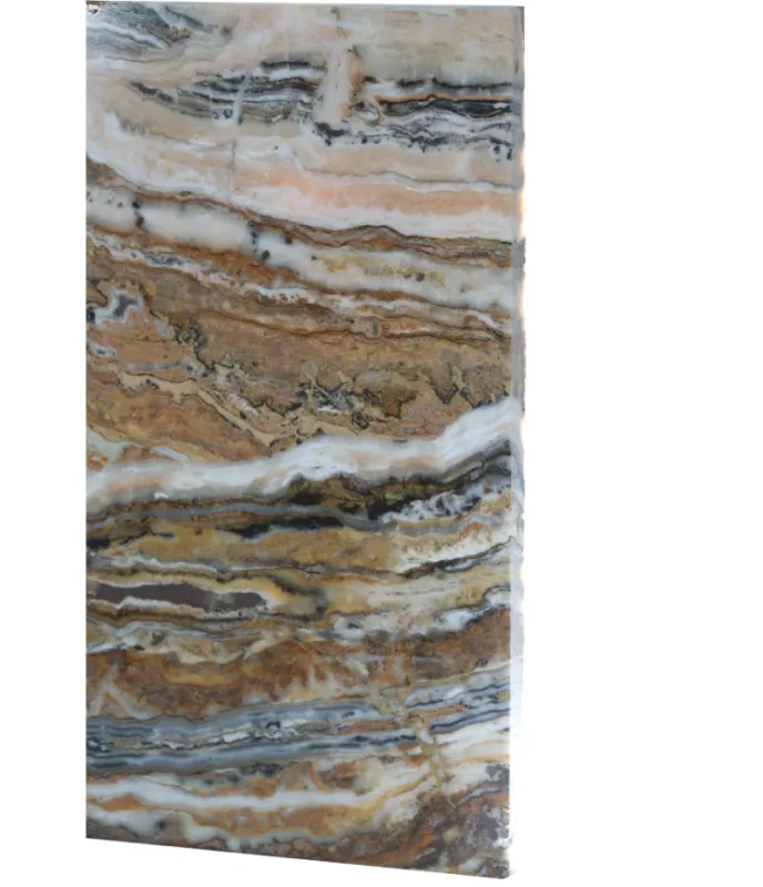
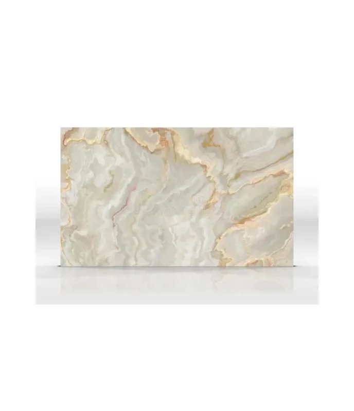
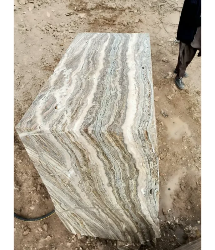
Marble Onyx
Category: Dimension and Building Stone
Use: It has a long history of use for hardstone
carving and jewelry, where it is usually cut as a
cabochon or into beads. It has also been used for
intaglio and hardstone cameo engraved gems,
where the bands make the image contrast with
ground.
It widely used as building and dimension stone.
Occurrence: Chagai

